EO NEWS 71: OroraTech Launches First Satellite Constellation for Wildfire Detection and Data Collection
Satellite images show before and after the earthquake in Myanmar.
📰 Latest news // Últimas notícias
🔥 Google's FireSat network will use AI-powered satellites to fight wildfires around the world. Rede FireSat da Google vai usar satélites com IA para combater incêndios em todo o mundo.
🛰️ Satellite images show before and after the earthquake in Myanmar. Imagens de satélite mostram antes e depois do terremoto em Mianmar.
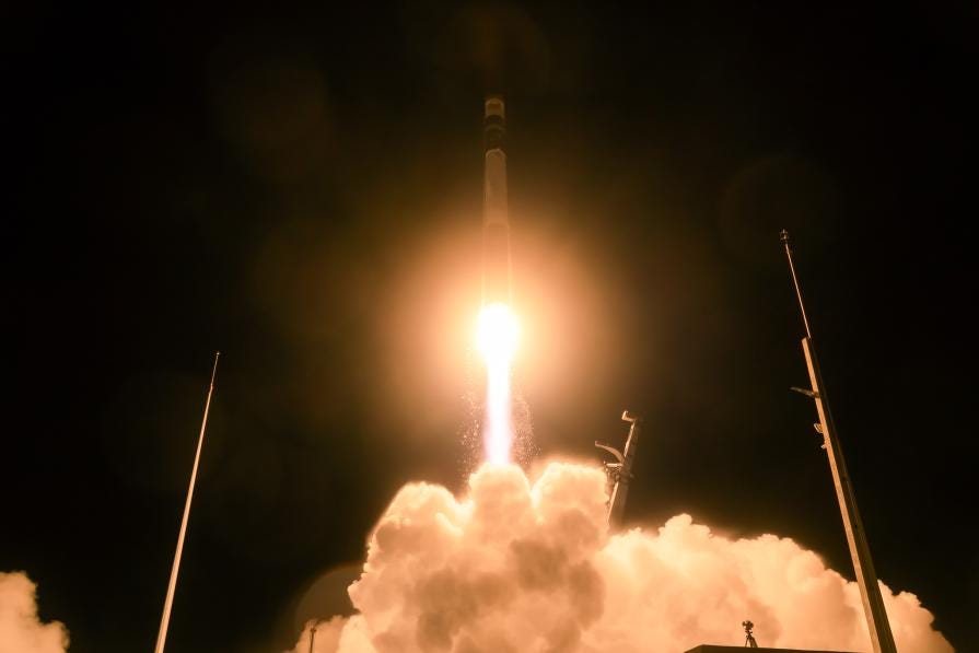
🚀 OroraTech Launches World’s First Satellite Constellation for Wildfire Detection & Data Accumulation. OroraTech lança a primeira constelação de satélites do mundo para detecção de incêndios florestais e acumulação de dados.
This is a free newsletter in order to make science more accessible to all of you.
If you’re unable to, no worries — you're always warmly welcome here.
📚 Interesting materials // Materiais interessantes
💪🏾 Opportunities // Oportunidades
IEEE webinar: Tree species classification from remotely sensed data: From hyperspectral to RGB (Online)
NASA ARSET - Landslide Monitoring and Risk Assessment Using NASA Earth System Data (Online)
💼 Job offers // Oportunidades de emprego
Software Engineer – Wildfire Impact & Recovery (Munich, Germany)
PhD in Remote Sensing for Soil organic carbon and tillage assessment (Müncheberg, Germany)
ESA Minute-writer (Paris, France)
GIS Trainee (Kolkata, India)
Research Scientist - Geomatics (New York, USA)
Researcher Climate Change on Migration and Immobility Worldwide (Laxenburg, Austria)
GIS Analyst (Canada)
Machine Learning Engineer, Forest Ecosystems (Remote, USA)
Coordenador (a) de Projetos de Geoprocessamento (São Paulo, Brasil)
Analista Software GIS (Canary Islands, Spain)
Assistant GIS Data Officer (Manchester, UK)
Postdoc position - multi-scale LIDAR and European biomass monitoring (Potsdam, Germany)
Researcher - Next generation forest dynamics modelling using remote sensing data (Cambridge, UK)
Senior Earth Observation Expert (Frascati, Italy)
NatGeo Cartographer (Washington DC, USA)
📆 Upcoming events // Próximos eventos
New Space Atlantic Summit (Lisbon, Portugal)
ESA Big Data from Space Conference 2025 (Riga, Latvia)
IEEE International Conference On Next-Gen Technologies Of Artificial Intelligence And Geoscience Remote Sensing (Andhra Pradesh, India)
Interdisciplinary Summer School on Forest Ecosystems 2025 (Oxford, UK)
EarthCODE Workshop (Mostar, Bosnia and Herzegovina)
ESA-NASA International Workshop on AI Foundation Model for EO (Frascati, Italy)
🤳 My content // Meu conteúdo
__
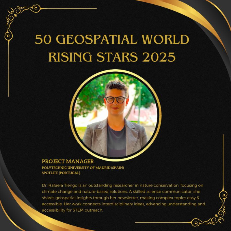
Fui reconhecida como uma das 50 Estrelas em Ascensão do Mundo Geoespacial em 2025. 🏆 🛰️ 🚀 Esta conquista é o resultado de muito trabalho, mas também da incrível comunidade que construímos juntos. Para meus mais de 12.000 seguidores nas redes sociais e na minha newsletter: este prêmio é nosso! Obrigada pelo apoio e incentivo. 💚
This is a free newsletter in order to make science more accessible to all of you.
If you’re unable to, no worries — you're always warmly welcome here.


Congratulations!!