


#40 Weekly Remote Sensing and Geoscience news!
The classes and materials from ESA's 7th Advanced Training Course on Radar Polarimetry are now available; ESA missions help to reveal worldwide lake water loss trend; and more!

These are the topics of our #40 newsletter issue:
🛰 The classes and materials from ESA's 7th Advanced Training Course on Radar Polarimetry are now available!
🛰 ESA missions help to reveal worldwide lake water loss trend
🛰 Explore SEPAL for enhanced forest and land monitoring
🛰 UP42 launched recent platform updates
🛰 Job offers
🛰 Upcoming events
If you are not a subscriber, please, consider it. You are very welcome.
The classes and materials from ESA's 7th Advanced Training Course on Radar Polarimetry are now available!
The highly anticipated recordings and educational materials from the ESA's 7th Advanced Training Course on Radar Polarimetry are now available for access!
Held in Toulouse (France) from June 12th to 16th, 2023, this event brought together leading experts and professionals in the field of radar polarimetry.
If you missed the opportunity to attend this exceptional course or if you were present but want to revisit the insightful presentations and discussions, now is your chance to dive into the wealth of knowledge shared during the event.
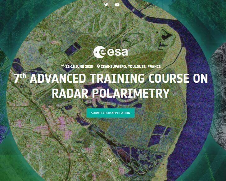
📰 Access the classes: ESA's 7th Advanced Training Course on Radar Polarimetry 2023
📰 Access the material: Educational materials from the event ESA’s 7th Advanced Training Course on Radar Polarimetry
ESA missions help to reveal worldwide lake water loss trend
According to the study, approximately 25% of the world's population currently resides in the vicinity of a large, dwindling lake. This finding emphasizes the critical necessity of enhancing sustainable practices in the management of these shrinking water bodies.
Remote sensing missions to contribute to the research include CryoSat – which is an ESA Earth Explorer – and Envisat, which is an ESA Heritage Mission.

📰 Read the paper published in the Science Journal: Satellites reveal widespread decline in global lake water storage
📰 Read more: ESA missions help to reveal worldwide lake water loss trend
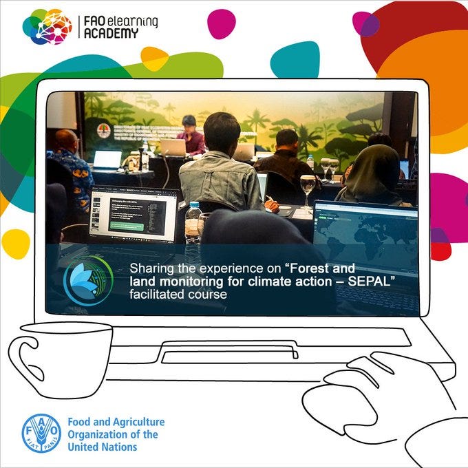
Explore SEPAL for enhanced forest and land monitoring
The course focuses on how the SEPAL platform can support land and forest monitoring. It will guide you through selected functionalities and applications of the platform, and frameworks, systems and processes for forest and land monitoring for climate action.
It supports knowledge and skills development to operationally apply high-resolution satellite imagery to critical forest and land monitoring in tropical forest countries.
The course is open to all interested in digital platforms and tools for forest and land monitoring, and covers the following topics:
🛰️ Institutionalization of forest data
🛰️ Introducing SEPAL for forest and land monitoring
🛰️ High-integrity measurement, reporting and verification
🛰️ Monitoring of forest and ecosystem restoration
🛰️ Peatland mapping and monitoring
A special thanks to Rocio Condor who shared this information with me.
📰 Learn more: SEPAL Forest and Land Monitoring for Climate Action
UP42 launched recent platform updates
Check the new data catalog availability and information:
🛰️ Vexcel: Ultra high resolution aerial imagery, along with DTMs and DSMs (starting from 5.5 cm resolution).
🛰️ Sentinel-2: Open data with a spatial resolution of 10 m to 60 m, global coverage, and a 5-day revisit rate.
🛰️ Intermap: NEXTMap® elevation data suite available as a DSM, DTM, and combined DSM and DTM products. Access 1 m, 6 m, and 10 m collections.
🛰️ Hexagon: Aerial data offering a large library of optical imagery with 15 cm and 30 cm GSD in GeoTIFF across North America and Europe.
🛰️ WorldDEM Neo: High resolution digital surface models with 5 m pixel spacing and global coverage.
 · UP42")
📰 Read more: UP42 - Key product updates in 2023 (so far)
JOB OFFERS
➡️ Post-Doctoral Fellowship in hyperspectral imaging
➡️ Earth Observation Systems Architect Officer
➡️ Head of the Earth Observation Project Department
➡️ Head of Copernicus Mission Operations Management Section
➡️ 2x Research Associates in Machine Learning and Data Science for Environmental Science
➡️ Fulbright Award in Artificial Intelligence Ethics
➡️ Research Associate in Spacecraft Constellations
➡️ Director, Education Programs (National Geographic)
UPCOMING EVENTS
➡️ Fifth Space for Hydrology Workshop
➡️ EarthCARE Pre-launch Science and Validation Workshop
➡️ XIII Jornada de Educação em Sensoriamento Remoto no Âmbito do Mercosul
➡️ 13th Workshop on Hyperspectral Image and Signal Processing: Evolution in Remote Sensing
➡️ 12th ESA Advanced Training Course on Land Remote Sensing
➡️ Coimbra Space Summer School
➡️ XIV Escuela Internacional sobre La Determinación y Uso del Geoide
Maximize your potential! Explore the most complete list of training, events, conferences, workshops and job offers at Geoportal.tech. (👥 Jéssica Uchôa)

Thanks for reading! See you next week!
Don't forget to like it and comment if it was helpful for you.
I appreciate it and I love to hear from you.
With love,
— Rafaela Tiengo
You did not include the International Geoscience and Remote Sensing Symposium (IGARSS) on your list of events.