#30 Weekly Remote Sensing and Geoscience news!
NASA takes stock of carbon dioxide emissions by countries; Scientists use NASA satellite data to determine Belize Coral Reef risk; SpaceX launches new instrument. [20 job offers & 14 events]
These are the topics of our #30 newsletter issue:
🛰 NASA Space Mission takes stock of carbon dioxide emissions by countries
🛰 Scientists use NASA satellite data to determine Belize Coral Reef risk
🛰 NASA uses 30-Year satellite record to track and project rising seas
🛰 SpaceX launches Intelsat 40e with NASA’s TEMPO instrument
🛰 Landsat 9 reprocessing campaign update
If you are not a subscriber, please, consider it. You are very welcome.
This is a free newsletter in order to make science more accessible to all of you.
Would you like to support me? You can easily buy me a coffee (or a book) at the bottom below. :)
If you can't do it, don't worry. You are always very welcome. 💚
I wish you a good read! :)
NASA Space Mission takes stock of carbon dioxide emissions by countries
🛰️ The study provides a new perspective by tracking both fossil fuel emissions and the total carbon “stock” changes in ecosystems, including trees, shrubs, and soils.
🛰️ The data is particularly useful for tracking carbon dioxide fluctuations related to land cover change.

📰 Read more: NASA Space Mission Takes Stock of Carbon Dioxide Emissions by Countries
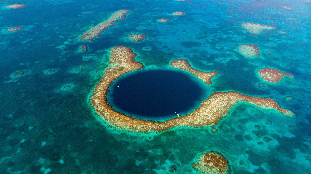
Scientists use NASA satellite data to determine Belize Coral Reef risk
🌊 In a study published in Frontiers in Remote Sensing, the scientists ranked 24 marine protected areas off the Belize coast based on the risks coral face from murky water and rising temperatures.
🌊 The study also outlined how researchers at NASA’s Jet Propulsion Laboratory in Southern California and counterparts in Belize used free, cloud-based data on Google Earth Engine in their analysis.

📰 Read more: Scientists Use NASA Satellite Data to Determine Belize Coral Reef Risk
NASA uses 30-Year satellite record to track and project rising seas
🌊 The annual rate of rise increased from 0.08 inches (0.20 centimeters) per year in 1993 to 0.17 inches (0.44 centimeters) per year in 2022.
🌊 Based on the long-term satellite measurements, the projected rate of sea level rise will hit 0.26 inches (0.66 centimeters) per year by 2050.

📰 Read more: NASA Uses 30-Year Satellite Record to Track and Project Rising Seas
SpaceX launches Intelsat 40e with NASA’s TEMPO instrument
🛰️ TEMPO will provide hourly, daytime measurements of air quality in North America. It will monitor three main pollutants and reveal disparities in exposure in our cities and communities.
📰 Read more: NASA’s High-Resolution Air Quality Control Instrument Launches
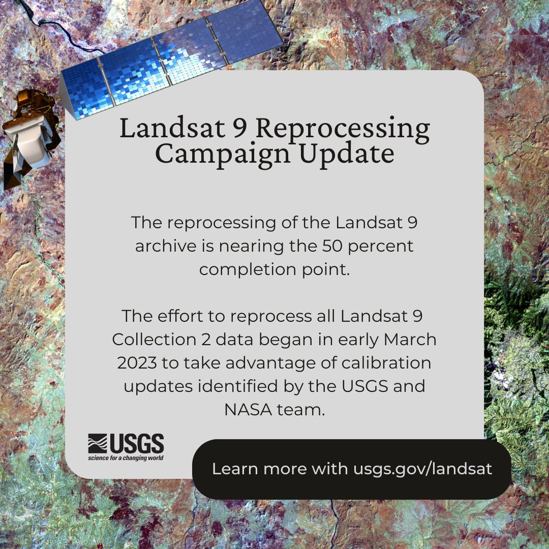
Landsat 9 reprocessing campaign update
🛰️ The Landsat 9 archive reprocessing effort is nearing the 50% completion point. They estimate that this campaign will be completed in early May.
📰 Read more: Landsat 9 reprocessing campaign update
Job offers & opportunities
Environmental data scientist (JRC ISPRA)
Climate scientist (JRC ISPRA)
Scientific Project Officer in Crop Growth Modelling (JRC ISPRA)
Land system scientist (JRC ISPRA)
Project Officer: Applied Quantum Computing for Internal Security Researcher (JRC ISPRA)
Project Officer: Artificial Intelligence Researcher (JRC ISPRA)
EO data analyst/scientist (GeoVille)
Analista de Desenvolvimento de Projetos de Carbono Sênior - Geoprocessamento (WayCarbon, Brazil)
Ocean Data Sharing (UNESCO)
Ocean Observing (UNESCO)
12. Ocean literacy strategy (UNESCO)
13. Chief of section: ocean science (UNESCO)
14. Associate Professor position in Land Use and Soil Hydrology (University of British Columbia)
15. Machine Learning Engineer -Intern (Sylvera)
16. Web developer (Barcelona Supercomputing Center)
17. Ocean biogeochemical modeller (Barcelona Supercomputing Center)
18. Vegetation dynamics scientist (Barcelona Supercomputing Center)
19. Master student - Machine Learning (Barcelona Supercomputing Center)
20. Postdoctoral researcher on Land-Use/Land-Cover change and remote sensing of vegetation (Barcelona Supercomputing Center)
Conferences, workshops, training courses, webinar and more!
April
May
June
July
10. ACM Europe Summer School on HPC Computer Architectures for AI and Dedicated Applications
August
September
12. Digital Geographies Conference
13. Advances in the Science and Applications of SAR Interferometry and Sentinel-1 InSAR (FRINGE 2023)
14. School on Atmospheric Composition
Thanks for reading! See you next week!
Don't forget to like it and comment.
I appreciate it and I love to hear from you.
With love,
— Rafaela Tiengo


