#23 Weekly Remote Sensing and Geoscience news! 🛰️🌍
📢 The Remote Sensing and Geoscience news in 5 minutes.
These are the topics of our #23 newsletter issue:
🛰 Landsat 8 currently in Safehold
🛰 Copernicus new portal
🛰 Earth Vision Workshop
🛰 SpaceX begins 2023 with Transporter-6 launch
🛰 Scene From Above podcast new episode: GNSS to study natural hazards
🛰 NASA course: Biodiversity Applications for Airborne Imaging Systems
If you are not a subscriber, please, consider it. You are very welcome.
This is a free newsletter in order to make science more accessible to all of you.
Would you like to support me? You can easily buy me a coffee (or a book) at the bottom below. :)
If you can't do it, don't worry. You are always very welcome. 💚
I wish you a good read! :)
Landsat 8 currently in Safehold
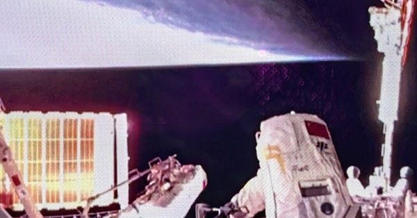
The Landsat 8 spacecraft is stable and safe at this time. The USGS/NASA Landsat 8 Flight Operations Team is currently investigating the anomaly and working to return to normal operations in a safe and controlled manner.
⚠️ The satellite does not acquire image data while in safehold.


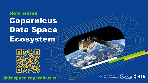
Copernicus new portal
About the Copernicus Data Space Ecosystem:
🛰️ Immediate access to large amounts of open and free Earth observation data from the Copernicus Sentinel satellites.
🛰️ The next level of data processing and distribution infrastructure.
🛰️ Easy data discovery, visualization, download, streaming and analysis.
🛰️ A powerful tool to benefit a wide range of users, including institutions, researchers, and businesses.


Earth Vision Workshop
The Earth Vision Workshop will be held in conjunction with the Computer Vision and Pattern Recognition (CVPR) 2023 Conference.
📆 June 18
📍 Vancouver, Canada
More info: Earth Vision Workshop
SpaceX begins 2023 with Transporter-6 launch
🛰️ After a record-setting year of launch activity in 2022, SpaceX kicked off the new year with a Falcon 9 launch of more than 110 smallsats.
🛰️ The largest single customer on the launch, in terms of number of satellites, was Planet, which had 36 of its SuperDove imaging satellites on board. Planet has now launched more than 500 satellites, mostly cubesats like the SuperDoves.
Scene From Above podcast new episode: GNSS to study natural hazards
🌋 Are you interested in GNSS and Natural Hazards?
🎙️ Don't miss out on our new episode on the Scene From Above podcast with Dr. Lujia Feng. I'm sure that you will love to learn more about earthquakes and volcanoes!
...and of course: the news segment with me. :)
I hope you all enjoy it!


NASA course: Biodiversity Applications for Airborne Imaging Systems
🛰 This training series will first highlight the use of hyperspectral Visible to Shortwave Infrared (VSWIR) imaging spectroscopy data for measuring and monitoring terrestrial and aquatic biodiversity.
🛰 The course will focus on using thermal and LiDAR data for characterizing the structure and function of ecosystems using airborne campaigns.


Thanks for reading! See you next week!
Don't forget to like it and comment.
I appreciate it and I love to hear from you.
With love,
— Rafaela Tiengo


