#21 Weekly Remote Sensing and Geoscience news! 🛰️🌍
📢 The Remote Sensing and Geoscience news in 5 minutes.
These are the topics of our #21 newsletter issue:
🛰 Open-Earth-Monitor Global Workshop 2023
🛰 13th International Symposium on Digital Earth
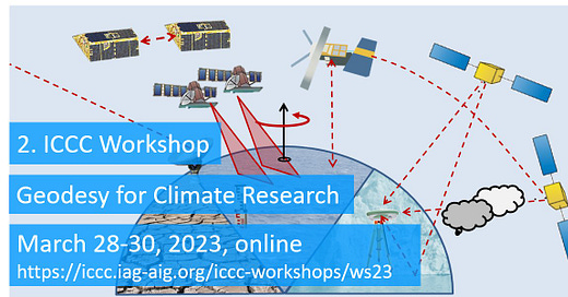
🛰 ICCC Workshop: Geodesy for Climate Research
🛰 Blog post: Introduction to Synthetic-aperture Radar (SAR)
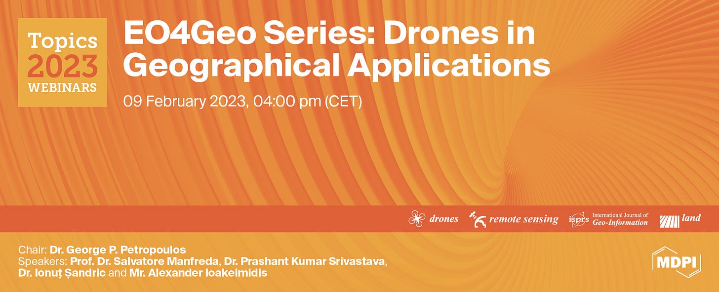
🛰 Webinar: Drones in Geographical Applications
If you are not a subscriber, please, consider it. You are very welcome.
I wish you a good read! :)
Open-Earth-Monitor Global Workshop 2023
This international event will connect project partners, including data and environmental researchers, public and private sector developers, EU decision- and policymakers, representatives from global institutions, the business sector and civil society to discuss and test solutions to the greatest challenges in geospatial applications.
Key dates:
📆 Call for abstracts opens: Nov 2022
📆 Workshop proposals close: 01 Feb 2023
📆 Abstract submissions close: 01 Mar 2023
📆 Review process closes/invitation letters sent: 01 Apr 2023
📆 Workshop: 4-8 September 2023
📍 Bolzano, Italy
More info: OEMC Global Workshop 2023
13th International Symposium on Digital Earth
Some topics:
🛰 Big Earth data platforms, including Data Cubes
🛰 Artificial Geospatial Intelligence
🛰 Natural Hazards and Disaster Risk Reduction
🛰 Climate Change and Adaptation
🛰 Ocean Surface and Lower Atmosphere
...and much more!
Important dates:
📆 Call for abstracts: December 12, 2022
📆 Deadline for abstract submission: February 28, 2023
📆 Notification of abstract acceptance: April 3, 2023
📆 Authors registration deadline: May 15, 2023
📍 Athens, Greece
More info: 13th International Symposium on Digital Earth
ICCC Workshop: Geodesy for Climate Research
This workshop intends to:
1) Highlight the potential of geodesy for climate research by showcasing and discussing climate-related studies making use of geodetic observations.
2) Bring together geodetic and climate scientists to facilitate exchange of their experience and possibly establish a mutual cooperation.


📆 Abstract submitted deadline: February 15, 2023
📆 Workshop: March 28-30, 2023.
📍 Online
Blog post: Introduction to Synthetic-Aperture Radar (SAR)
Are you new or interested in SAR? In this blog post/interview, you will understand:
🛰 What is SAR?
🛰 Why is the title "synthetic aperture" added to the radar? Why can't we just use a radar?
🛰 Is SAR an active or passive sensor?
🛰 What can you do with SAR?
🛰 Can we make accurate digital elevation models?
🛰 How does SAR penetrate through clouds?
🛰 What happens if a lot of SAR sensor are working in the same geographic are?
🛰 What about return times, orbits, and the height of the satellite?
🛰 What are some use cases for SAR?
...and much more!
Learn more: Introduction to Synthetic-aperture Radar (SAR)
Webinar: Drones in Geographical Applications
This webinar aims at providing a platform that will accommodate the latest research and application results related to the use of drones in a wide range of environmental and geographical applications.
Thus, experts were invited from different research fields demonstrating the use of drone technology presenting the state-of-the-art findings, and applications as well as providing insights into the future of drone technology.
📆 9 February 2023
⏰ 4:00 pm CET | 10:00 am EST | 11:00 pm CST Asia
More info: Drones in Geographical Applications
Thanks for reading! See you next week!
Don't forget to like it and comment.
I appreciate it and I love to hear from you. :)
— Rafaela Tiengo


