


#11 Weekly Remote Sensing and Geoscience news! 🛰️🌍

📢 The Remote Sensing and Geoscience news in 5 minutes.
Free e-book: Cloud-Based Remote Sensing with Google Earth Engine — Fundamentals and Applications
📢 Great news! Free open-access book for fundamentals and applications of Google Earth Engine! Geared towards all levels (beginners through advanced users). 👩🏾💻🛰️


⬇️ Check the e-book on the link below.
Cloud-Based Remote Sensing with Google Earth Engine — www.eefabook.org
Welcome to Cloud-Based Remote Sensing with Google Earth Engine: Fundamentals and Applications.
⬇️ Check the repository! It will be constantly updated!


🙋🏾♀️ I would like to say thank you for this great free contribution to the Earth Observation community. Congratulations to the team for this well-done job!
Google Maps: 3 new features for the next months
⬇️ You can check the new feature's GIFs in each tweet below.
🆕 Feature 1:

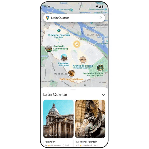
🆕 Feature 2:
🆕 Feature 3:
Hackathon: ACTINSPACE 2022
🚀 Have you ever dreamt of working with technologies developed for the conquest of space, or those made to make a rocket launch?
👩🏾🚀 ActInSpace is the only contest in the world that offers the chance to work on CNES and ESA patents.

⬇️ Check the challenges and choose yours!
ActInSpace Challenges || An international innovation contest lead by CNES and ESA — actinspace.org Participants unite for 24-hours to solve one of the contest’s challenges. Challenge based on patent look to use space technologies to benefit our everyday live
Free course: Ecosystem Services — a Method for Sustainable Development
By the end of this course, you will be enable to:
🌱 Define the concept of ecosystem services, its principles and limitations
🌱 Understand the key services associated with any ressource (e.g., fresh water) through readings and case-studies
🌱 Appreciate the advantages and potential risks of monetising ecosystem services
🌱 Appreciate the social dimensions (power issues, cultural biases) embedded within any method
🌱 Integrate tactical advice on mainstreaming this approach into policy and standard government practices
👩🏾💻 Optional: learn how to map ecosystem services with GIS tools
Ecosystem Services: a Method for Sustainable Development | Coursera — www.coursera.org Offered by University of Geneva. Ecosystem services are a way of thinking about – and evaluating – the goods and services provided by nature ... Enroll for free.
Free course: Intro to Remote Sensing
🛰️ Are you new to Remote Sensing? This is an introduction course for users who do not have a background in remote sensing.
🛰️ In this course, you will be introduced to the field of remote sensing, including the methods and science behind collecting remotely sensed data. It also covers Planet’s methods of remote sensing and the attributes that make Planet’s imagery unique.
Planet course: Intro to Remote Sensing — university.planet.com This course is a basic introduction to Satellite Remote Sensing.